
All mapping used in the KaarbonTech systems is provided by the Ordnance Survey under the PSGA.
The mapping products used within KaarbonTech systems are as follows:
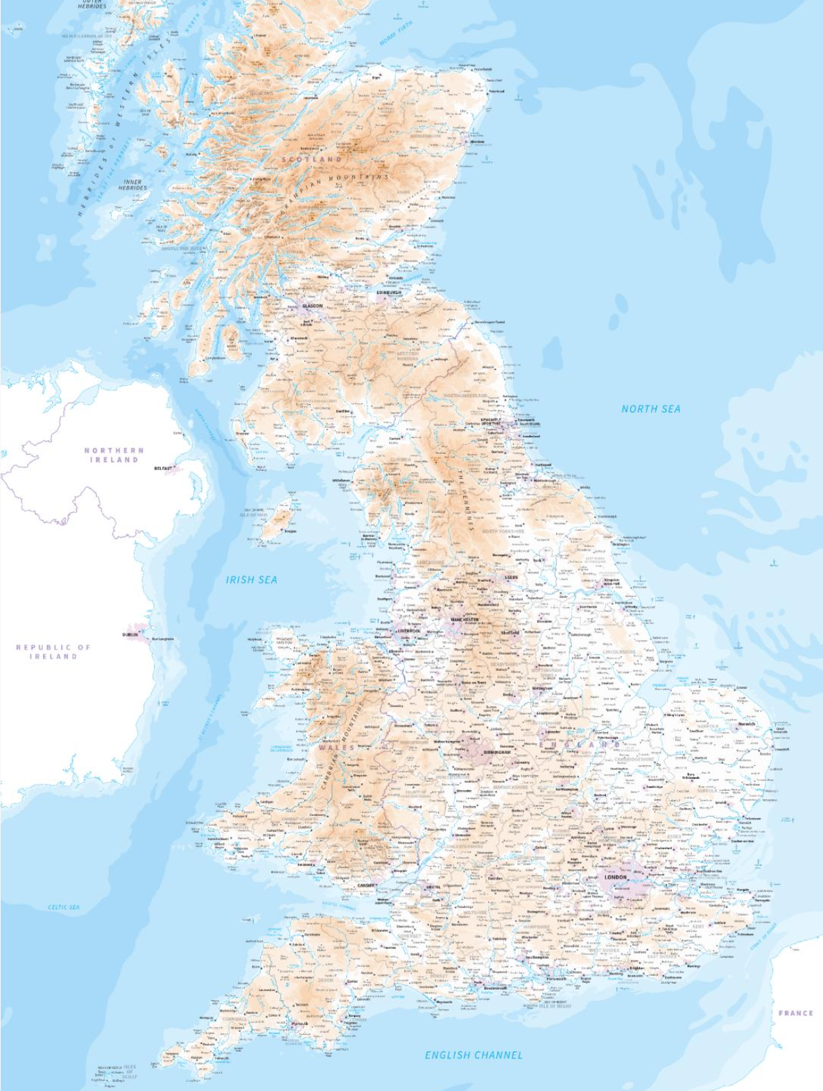
MiniScale. 1:100000 scale map covering the whole of the UK. This shows major towns and cities, motorways, major roads, railways and airports. This is used at the most zoomed out levels for systems that cover the largest geographical area, such as our UK-wide Pipe SMART and Tree SMART Arb products, and also for the largest counties.
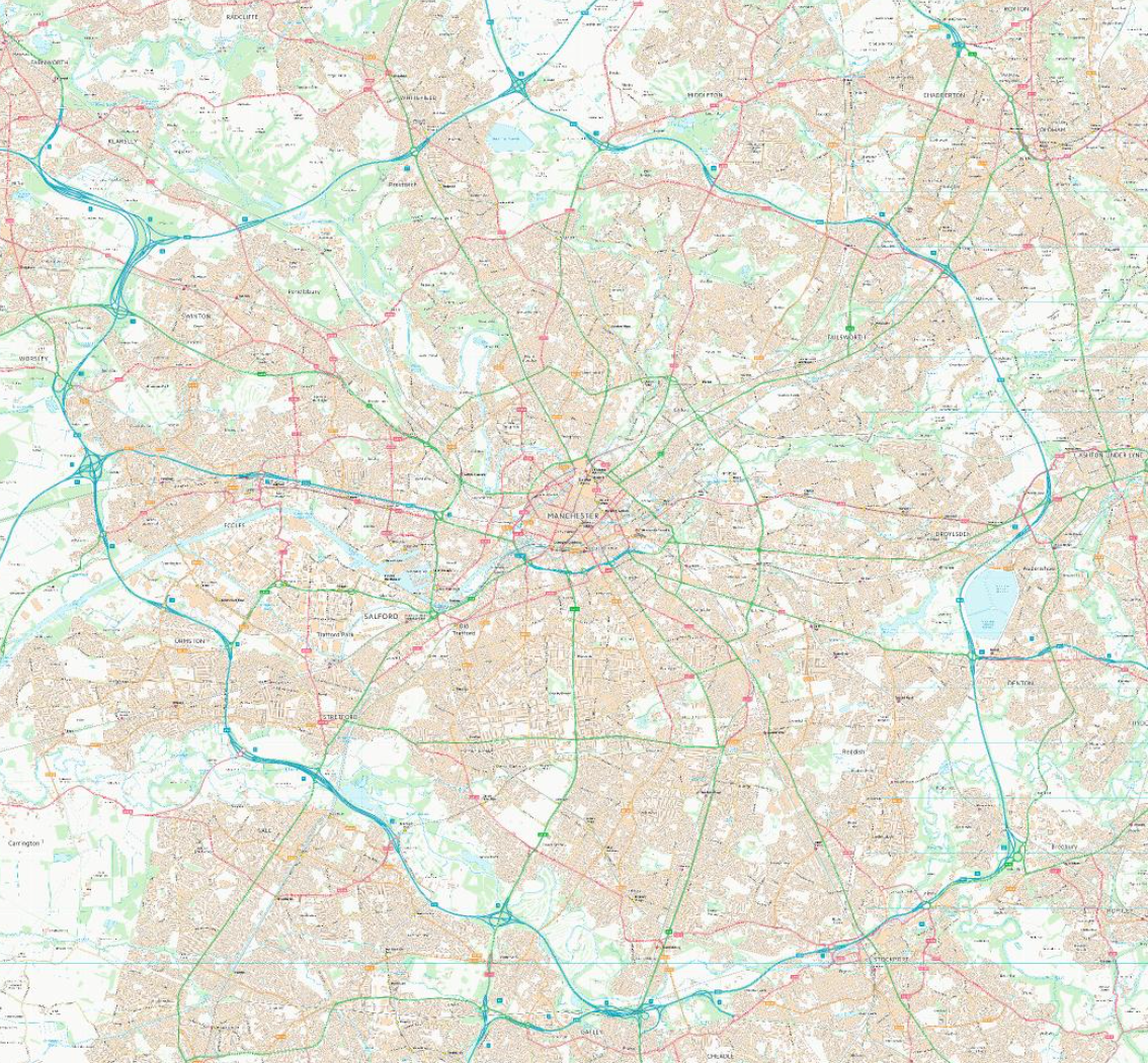
VectorMap District. A 1:25000 scale map that shows all the major roads and infrastructure of the UK. This is used as the outermost zoom levels for small to medium counties and large cities, and at intermediate zoom levels for larger systems.
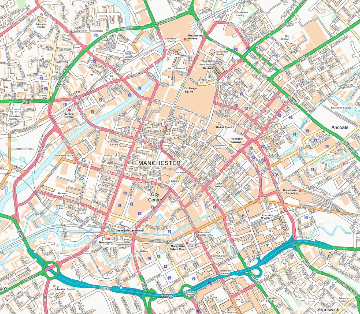
OpenMap Local. 1:10000 scale mapping where local features are clearly visible, including local POI and more minor roads and features. Used as closer intermediate zoom levels on all systems, and the outermost level for the smallest systems.
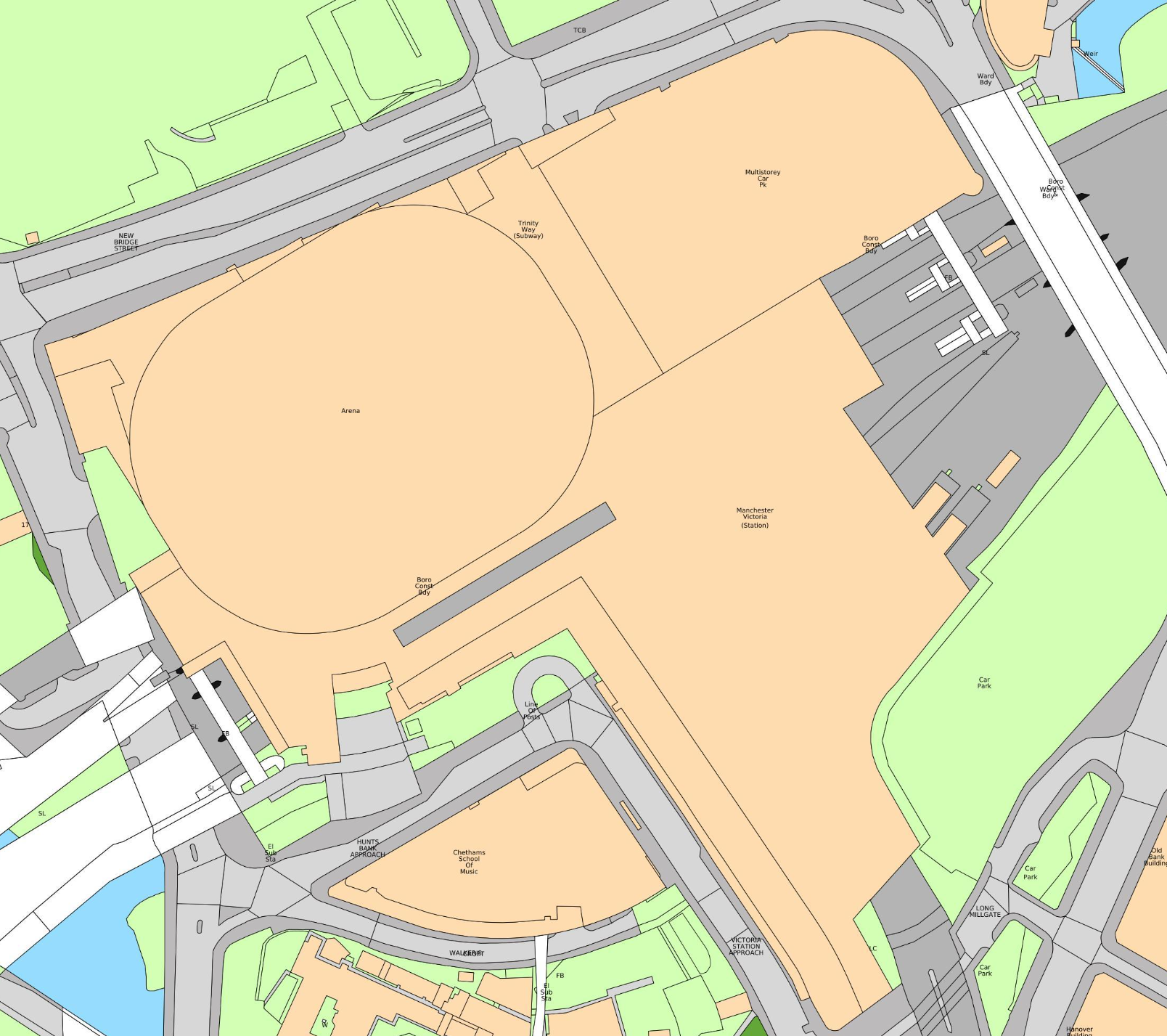
MasterMap Topography. The most detailed mapping available. Shows street-level infrastructure including roads, individual buildings, parks and waterways. This is used as the closest zoom levels on all systems, and you are required to zoom into MasterMap to be able to add new assets to the system, for the greatest accuracy.