
The red line in the middle of the road is the ward or parish boundary of the area that you have downloaded in the app.
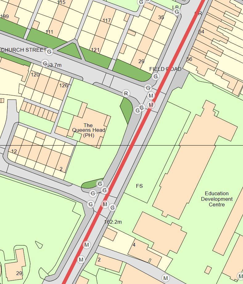
Because many wards and parishes exist that use the centre of a road as a boundary, when you download an area it will download assets up to 25 metres on the other side of the boundary. This allows you to clean and inspect the assets on both sides of the road without having to download another area.
If the assets on the other side of the road are not lit up, please check with your planners as they will need to update the due date of the assets to match on both sides of the road.